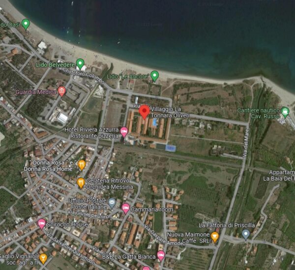
Tonnara of Oliveri
Tonnara of Oliveri it seems that it can be dated as early as the XNUMXth century and saw a large number of owners in the following centuries. Thanks to the particular morphology of the coast, Monte Tindari represented an ideal observation point from the top of the stretch of sea. Here was the "mountain rais" who, having sighted the schools of tuna heading in the direction of the plant, warned the sailors with gestures or with the sound of the trumpet, also giving orders relating to the nets in case he noticed specimens that were too small or fish not interesting. Over the years the Bishop of Patti demanded many tenth rights on the fish from the establishment, which ran out when they obtained their own concession by activating the nearby Tonnara di Rocca Bianca. The Oliveri plant remained active for many years and with good profits, but the crisis in the sector forced it to close after the war. In the XNUMXs, the large marfaraggio complex was transformed into a tourist village.
Text source: https://reimar.it/puntodi interesse/provincia-di-messina/
Card insertion: Ignazio Caloggero
Information contributions: Web
Photo: Google
Note: The population of the cards of the Heritage database proceeds in incremental phases: cataloging, georeferencing, insertion of information and images. The cultural property in question has been cataloged, and the first information has been entered. In order to enrich the information content, further contributions are welcome, if you wish you can contribute through our area "Your Contributions"


