

Archaeological site of Castello
Rocky settlement of the Byzantine age V - VI - VII century. d. C. and necropolis of the XNUMXth century. d. C.
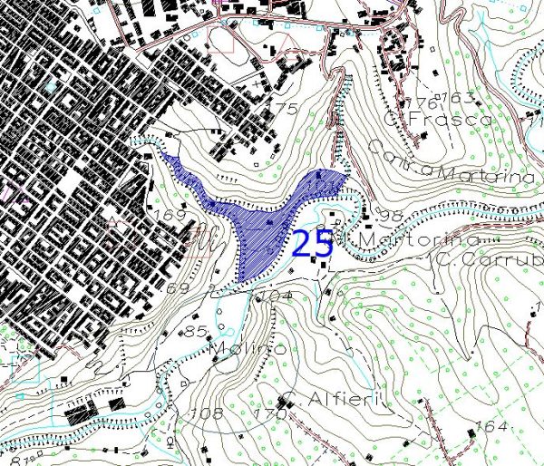
Areas of archaeological interest - Article 142, lett. m, Legislative Decree 42/04. Reference sheet: 25 Landscape Plan of Areas 15, 16 and 17 falling within the province of Ragusa
Text sources:
- https://www.arcgis.com/home/webmap/viewer.html?url=https%3A%2F%2Fmap.sitr.regione.sicilia.it%2Fgis%2Frest%2Fservices%2Fbeni_culturali%2Fsiti_archeologici%2FMapServer&source=sd
- https://www.sitr.regione.sicilia.it/geoportale/it/Home/GeoViewer?resourceLocatorId=1610
- Superintendency of Ragusa

by: Contribution to Tabula Imperii Byzantini of Sicily: the Ippari Valley,
Bibliographic insights
Patitucci - G. Uggeri, Contribution to Tabula Imperii Byzantini of Sicily: the Ippari Valley, in SAMI, Proceedings VII Congr. Nat. arch. Med. (Lecce 2015), Florence 2015, pp. 436-41. download file: 11) Ugg338 2015 Pat Vitt biz
PRESS: Well cataloged but not geolocated. We invite you to provide your contribution by providing us with useful information that will allow us to geolocate the listed asset. See also "Cultural Heritage to be Geolocated"
Card insertion: Ignatius Caloggero
Photos:
Note: The populating of the files of the Heritage database proceeds in incremental phases: cataloging, georeferencing, insertion of information and images. The cultural property in question has been cataloged, georeferenced and the first information entered. In order to enrich the information content, further contributions are welcome, if you wish you can contribute through our area "Your Contributions"
