

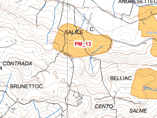
Archaeological site of C.da Salice
The site extends on the top of a hill and perhaps also affected the northern slope where there was an excavation. On the ridge we note the presence of artificial cave tombs of the prehistoric age while at the top there are remains of structures belonging to a farm of the period
Hellenistic, including the remains of an oil mill.
Bronze / Hellenistic Greek Age - XNUMXst millennium-XNUMXnd century B.C
Area of archaeological interest, art. 287 lett. m) Legislative Decree 42/04
(Source text of survey form n.405 Landscape Plan of the Province of Agrigento - Archaeological Heritage)
PRESS: Well cataloged but partially geolocated. We invite you to provide your contribution by providing us with useful information that will allow us to geo-locate the listed asset. See also "Cultural Heritage to be Geolocated"
Card insertion: Ignazio Caloggero
Information contributions: Web, Region of Sicily
Photo: card cited
Note: The population of the cards of the Heritage database proceeds in incremental phases: cataloging, georeferencing, insertion of information and images. The cultural property in question has been cataloged, and the first information has been entered. In order to enrich the information content, further contributions are welcome, if you wish you can contribute through our area "Your Contributions"
