

Contrada Bagni Necropolis
- Enna Provincial Territorial Plan: http://www.provincia.enna.it/k2ptpenna/index.html
- Guidelines of the regional landscape plan
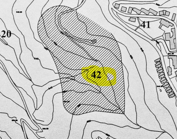
- Centuripe archaeological map (source wikipedia)
- article "Guido's" paper ": http://sacenturipe.altervista.org/blog/?p=134
In-depth document: Giacomo Biondi - For an archaeological map of the territory of Centuripe. In: Excavations and research in Centuripe by Giovanni Rizza - National Research Council IBAM - Section of Catania - Catania 2002
Card insertion: Ignatius Caloggero
Photo: web
Information contributions: Ignazio Caloggero, Web
Note: The populating of the files of the Heritage database proceeds in incremental phases: cataloging, georeferencing, insertion of information and images. The cultural property in question has been cataloged, georeferenced and the first information entered. In order to enrich the information content, further contributions are welcome, if you wish you can contribute through our area "Your Contributions"

Archaeological map of Centuripe (Source Wikipedia)
