

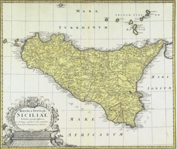
Regni & Insvlae Siciliae Tabula Geographica ex Archetypo gradiori in hoc compendium redacta (1747)
Street View (le cas échéant)
Street View n'est disponible qu'avec Google Maps.
Description
Regni & Insvlae Siciliae Tabula Geographica ex Archetypo gradiori in hoc compendium redacta (1747)
auteur : Homann, Johann Baptist (Cod. C2)
Carte du projet OldmapsOnline (Klokan Technologies GmbH, Suisse et The Great Britain Historical GIS Project c/o University of Portsmouth, UK)
Cartographie faisant partie du projet : Promenades et itinéraires antiques de la Sicile
Il est possible de visualiser la carte en haute résolution et en format "zoomable" à l'adresse web suivante :
Regni & Insvlae Siciliae Tabula Geographica ex Archetypo gradiori in hoc compendium redacta (1747)
Allez sur Google Maps
Envoyer un avis à l'éditeur
[contact-form-7 id = "18385"]