

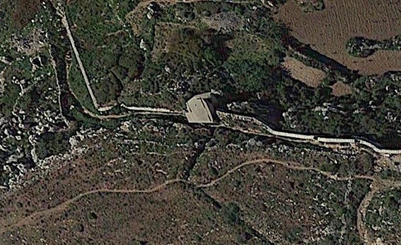
Victoria Lines Malta sheltered watchpoint (Mgarr)


Photo: Wikipedia
Note: The Victoria Lines (North West Front), are a series of fortifications and shelters built by the English since the XNUMXth century and connected to each other by a wall for about 13 km, so much so that it is also called "The Great Wall of Malta". the defensive structures were intended for sighting in case of military attacks from the north, and served as a defensive shield during the Second World War.At the end of the war, the defensive structures were abandoned but retain their charm so much that they are considered of historical tourist interest naturalistic. For further information: http://www.victorialinesmalta.com/.
Look at the card "The Maltese Fortifications"
Note: The populating of the files of the Heritage database proceeds in incremental phases: cataloging, georeferencing, insertion of information and images. The cultural property in question has been cataloged, georeferenced and the first information entered. In order to enrich the information content, further contributions are welcome, if you wish you can contribute through our area "Your Contributions"
Find out more on Data bank of the Material Heritage of Sicily and Malta
Get to know the Sicilian Cultural Heritage databases: Data Maps Heritage
