

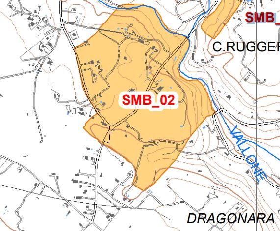
Contrada Senia Archaeological Site
The site is privately owned and has a stratified deposit of lithic industry in its area, probably relating to an original settlement in a cave, today it has been cut to build a house. A short distance away, on the western side, the ridge shows signs
of a rock settlement of the Byzantine age, characterized by caves of various sizes (some were probably reused prehistoric tombs). Some of them are engraved with Latin crosses. Downstream we highlight the presence of the remains of pit tombs dug into the tuff, relative
to the rock settlement. Also note the remains of some quarries. In the north-eastern portion of the ridge, hidden by vegetation, there is a large cave with graffitied crosses.
Prehistoric / Byzantine Age - V-VII century. A.D
Bronze?
Area of archaeological interest, art. 142 letter m) Legislative Decree 42/04
(Source text of survey form n.182 Landscape Plan of the Province of Agrigento - Archaeological Heritage)
PRESS: Well cataloged but partially geolocated. We invite you to provide your contribution by providing us with useful information that will allow us to geo-locate the listed asset. See also "Cultural Heritage to be Geolocated"
Archaeological Heritage Sheets Landscape Plan of Agrigento
Card insertion: Ignazio Caloggero
Information contributions: Web, Region of Sicily
Photo: Card shown above
Note: The population of the cards of the Heritage database proceeds in incremental phases: cataloging, georeferencing, insertion of information and images. The cultural property in question has been cataloged, and the first information has been entered. In order to enrich the information content, further contributions are welcome, if you wish you can contribute through our area "Your Contributions"
