

Necropolis of Torre Franco
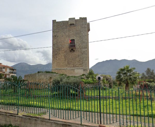
The Franco Tower is located on the Sicula State Road 113 at the height of km 284. In the adjacent area a quarry of ashlars was opened which destroyed several tombs both in Roman niches and in prehistoric "ovens". De Gregorio also points out, proceeding towards Villa Grazia, “ruins of ancient works
Romans, pieces of mosaics, ruins of buildings ". F ° 249 III NE Carini; UTM: 33SUC41052510; Altitude: 30 m. (Text source: Giovanni Mannino Piero Galati: Carini Archaeological Map)
PRESS: Well cataloged but partially geolocated. We invite you to provide your contribution by providing us with useful information that will allow us to geolocate the listed asset. See also "Cultural Heritage to be Geolocated"
In-depth documents:
Giovanni Mannino Piero Galati: Carini Archaeological Map. Download file: NOTES_FOR_THE_ARCHEOLOGICAL_CARTA_CAR
Giovanni Mannino: Guide to the Prehistory of Palermo - List of prehistoric sites in the province of Palermo - Sicilian Institute for Political and Economic Studies - 2008 - Publication produced with the contribution of the Regional Cultural Heritage Department,
Environmental and Public Education. Download the document: Guide-Prehistory-of-Palermo_10c8pt2p
Western Sicily Studies, reviews, research by Carmine Ampolo. Download file: Monte_dOro_di_Montelepre_The_ecropolis_of
Card insertion: Ignazio Caloggero
Photos: Google
Information contributions: Ignazio Caloggero Web
Note: The populating of the files of the Heritage database proceeds in incremental phases: cataloging, georeferencing, insertion of information and images. The cultural property in question has been cataloged, georeferenced and the first information entered. In order to enrich the information content, further contributions are welcome, if you wish you can contribute through our area "Your Contributions"
