

Mendolilli
Grottami with pottery from prehistoric age I Bronze Age (XIX - XIV century BC)
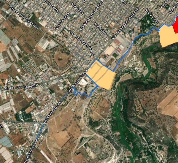
Areas of archaeological interest - Article 142, lett. m, Legislative Decree 42/04. Reference sheet: 23 Landscape Plan of Areas 15, 16 and 17 falling within the province of Ragusa
Text sources:
- https://www.arcgis.com/home/webmap/viewer.html?url=https%3A%2F%2Fmap.sitr.regione.sicilia.it%2Fgis%2Frest%2Fservices%2Fbeni_culturali%2Fsiti_archeologici%2FMapServer&source=sd
- https://www.sitr.regione.sicilia.it/geoportale/it/Home/GeoViewer?resourceLocatorId=1610
- Superintendency of Ragusa
Card insertion: Ignazio Caloggero
Information contributions: Web, Region of Sicily
PRESS: Well cataloged but partially geolocated. We invite you to provide your contribution by providing us with useful information that allows us to geolocate the cataloged property in detail. See also "Cultural Heritage to be Geolocated"
Note: The populating of the files of the Heritage database proceeds in incremental phases: cataloging, georeferencing, insertion of information and images. The cultural property in question has been cataloged, georeferenced and the first information entered. In order to enrich the information content, further contributions are welcome, if you wish you can contribute through our area "Your Contributions"
